2026-09-03 · 9 min read · Saugus · last reviewed 2026-09-17
By Michelle Dubner, REALTOR® · DRE #01496647 · Dubner Real Estate Group
How Saugus District Zones Affect Daily Life
How do district zones affect daily life in Saugus?
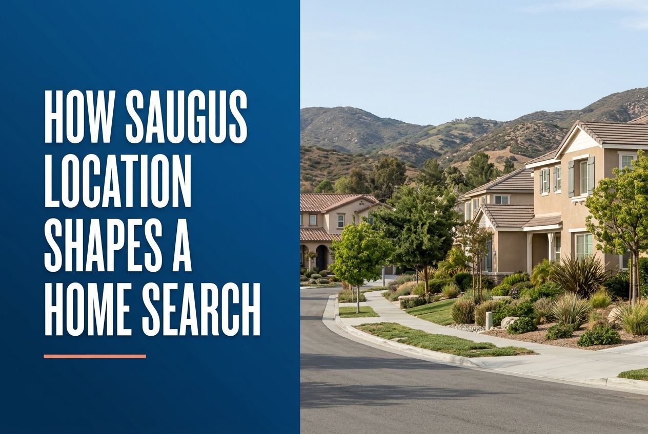
In Saugus, location is not just about the street address. It also affects whether a home sits near district zones, trails, transit, parks, and the planning rules that guide the Santa Clarita Valley.
Part of Living in Saugus
Overview
We treat a Saugus home search as a location and planning question first. In this part of Santa Clarita, the right fit depends on where a home sits in relation to neighborhood access, district boundaries, and the City and County plans that guide land use across the valley, including nearby Valencia, Stevenson Ranch, Newhall, Castaic, and Canyon Country.
For buyers in Saugus, the search becomes clearer when we map the home against roads, parks, trails, and nearby services. That helps us see how daily travel, future planning rules, and neighborhood placement may shape the choice before we focus on finishes or features.
For a fuller walk through, read the Saugus market page we keep updated.
Key Takeaways
- Saugus is part of Santa Clarita, and the valley is shaped by both the City General Plan and the County’s Santa Clarita Valley Area Plan.
- A Saugus home’s location can matter because district zones help identify nearby parks, shopping areas, and access roads.
- Trails, paseos, and open space are part of how many Santa Clarita buyers think about location.
- Transit access matters, including Santa Clarita Transit and the city’s Metrolink stations.
- Planning around a home search should consider whether the property is in the city or in unincorporated county land.
- A useful search in Saugus starts by matching the address to the places, routes, and planning layers around it.
How does Saugus fit into Santa Clarita planning?
Saugus is one of the original communities that became part of the City of Santa Clarita when the city incorporated in 1987. The city profile says Santa Clarita included Saugus, Newhall, Valencia, and Canyon Country at that time. Today, the city and the county both help shape the broader Santa Clarita Valley.
That matters in a home search because the County’s Santa Clarita Valley Area Plan applies to unincorporated parts of the valley, while the City of Santa Clarita General Plan applies within the city. The county says the plans work together as a unified vision for development and conservation across the valley.
What should buyers check about the address itself?
The first planning step is confirming the exact location of the home. In Saugus, that means looking at the street, the nearby road network, and any district zone or planning area tied to the property. A home can feel close to one part of the community, but still sit within a different zone than expected.
This is especially useful in a place like Saugus, where the city’s special district pages identify different Landscape Maintenance District zones with specific neighborhood names and boundaries. Those zones do not replace zoning or general plan rules, but they help buyers understand the local setting around a property.
Which Saugus district zones can shape daily life around a home?
The city’s LMD zone page shows several Saugus zones, each tied to a different local area. T-1 Faircliff Saugus includes the shopping center at Copper Hill Drive and Seco Canyon Road. T-2A Skyline Ranch Saugus includes communities adjacent to and accessible from Skyline Ranch Road from Plum Canyon Road to Sierra Highway, and it includes Plum Canyon Park and Skyline Ranch Park.
Other Saugus zones listed by the city include T-23 Mountain View Slopes, T-23A Mountain View Condos, T-23B Seco Villas, T-48 Shadow Hills, T-67 Miramontes, and T-71 Haskell Canyon Ranch. These zone labels help a buyer see which local places may be nearby, such as parks, condos, and key access roads.
How do trails, parks, and open space affect the home search?
The City of Santa Clarita says residents have more than 100 miles of off-street trails and paseos, and thousands of acres of open space surrounding the city. For many buyers, that means location is tied to how easily they can reach paths, parks, and open space from the home.
The city also notes dozens of parks and a broad parks system with features like play areas, picnic spaces, lighted fields, pools, classrooms, and event spaces. In Saugus, that can matter when comparing homes because nearby recreation access is part of the local layout.
Why does access to roads and transit matter in Saugus?
A home search in Saugus should include the route in and out of the neighborhood. The city profile says Santa Clarita Transit offers trip options around the city, and the city is also home to three Metrolink stations. Even if a home is not next to transit, buyers still want to know how the broader transportation network fits into their day.
Road access also shows up clearly in the city’s LMD zone descriptions. Some Saugus zones are described by the roads that reach them, such as Copper Hill Drive, Seco Canyon Road, Skyline Ranch Road, or Sierra Highway. That gives a buyer a practical sense of how the home connects to the rest of Santa Clarita and beyond.
How do planning rules affect what can change around a home?
Planning matters because it helps explain what kinds of changes are allowed nearby over time. The County’s Santa Clarita Valley Area Plan provides goals, objectives, policies, and implementation actions for unincorporated areas of the valley. The county also says it is maintained and updated as needed.
For a Saugus buyer, the main question is not just what the neighborhood looks like now, but what planning framework applies to the property and surrounding area. We use that question to help buyers think about nearby land use and conservation without guessing about specific projects unless the official records support them.
What local services should buyers factor into a Saugus search?
The city profile shows that Santa Clarita offers public library branches, community centers, events, and a Resident Service Center for requests and questions. It also notes maintenance efforts including graffiti removal and upkeep of roads, streets, bridges, sidewalks, and infrastructure. These details do not tell a buyer what to buy, but they do show the kinds of city services that shape the area around a home.
The profile also points to Old Town Newhall as a major arts and entertainment district in Santa Clarita. A Saugus buyer may not be shopping for that district directly, but it still helps to understand the wider city setting.
How should we compare two Saugus homes with different locations?
When two homes in Saugus look similar on paper, we compare the setting around each one. We ask which one is closer to the roads you use most, which one is nearer to a park or trail, and whether one sits in a district zone with different nearby places or access patterns. That gives the buyer a clearer picture of how the home fits everyday life in the valley.
We also check whether the address is in the City of Santa Clarita or in an unincorporated part of the Santa Clarita Valley, because planning rules can differ. That step often turns a broad search into a focused one.
Sources
- City of Santa Clarita: City Profile
- Los Angeles County Planning: Santa Clarita Valley Area Plan
- santaclarita.gov
The detail behind that sits in the step by step buying process we use. From there, our current listings show you how these differences actually show up on the ground.